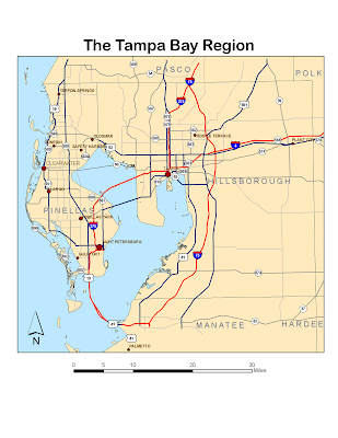
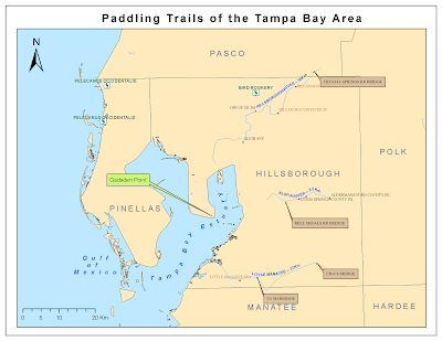
 The spline label for the Tampa Bay Estuary was a bit tricky - I had to redo it a few times to get it to fit within the Bay.
2. Learning ArcGIS Spatial Analyst
I had some problems with getting some of the tools to run, including reclassification using the ASCII file, which others have had problems with too, according to the discussion posts.
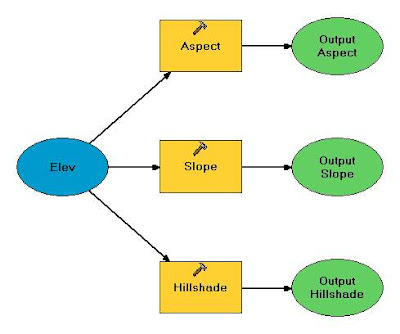
Modelbuilder image:
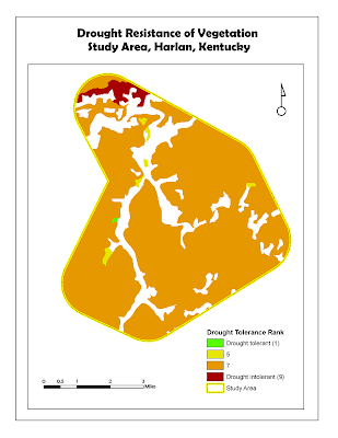
Vegetation reclassification map:
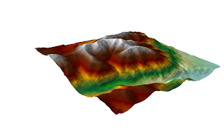
3. Learning ArcGIS 3D Analyst
Neat! I hope to have some time later to explore 3D more!
No comments:
Post a Comment