Thursday, February 25, 2010
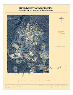
WEEK 6 LAB: GEOREFERENCING

Sunday, February 21, 2010
WEEK 5 LAB: DATA SEARCH
MAP 1. RASTER DATASETS

MAP 2. INVASIVE PLANTS AND STRATEGIC HABITAT CONSERVATION AREAS

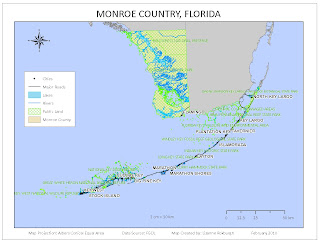
MAP 3. PUBLIC LANDS, HYDROGRAPHY, ROADS AND CITIES

I was excited about the fact that I was doing Monroe County, the Everglades State. But it was challenging to try to represent the public lands and the hydrographic features, since much of the state seems to be under water and public land. The Keys were particularly challenging since they are so small relative to the mainland, but also very long for an inset map. Hopefully with more experience I will learn how to do a better job.
Thursday, February 11, 2010
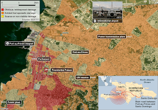
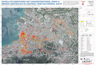
WEEK 4: HAITI EARTHQUAKE


With such awesome technology at the relief agencies fingertips one does rather wonder what went wrong. However, this being the poorest country in the western hemisphere (aided and abetted by the IMF and their ilk I see), I expect the logistical challenges to the relief efforts would be similar to here in Malawi, where we had our own little earthquake hours before the Haiti Earthquake struck. No casualties for that one, although 1000s of people remain homeless in Karonga district after a flurry of earthquakes over the past few months.